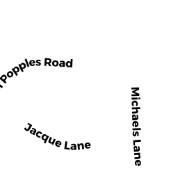
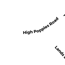
29 HIGH POPPLES RD
Owner Information
DIMAIO ANGELA M & VINCENZO G
29A HIGH POPPLES RD
GLOUCESTER, MA 01930


Property Details
29 HIGH POPPLES RD is classified as a Two-Family Residential (Family duplex).
The primary structure on this property was built in 2019. There are 7,896ft2 of built area within this property. There is 4,540ft2 of residential/living space within this property.
29 HIGH POPPLES RD is valued at $1,167,900. The land is valued at $213,600 and the structures are valued at $952,300. There is an additional valuation of $2,000 on this property.
This property is in Zone R-20. Confirm with local Zoning Board authorities to ensure there are no overlays or other easements on this property.
29 HIGH POPPLES RD was last sold on Tuesday, October 9, 2018 for $10.
Assessment data from fiscal year 2022.
Flood Data
According to the FEMA National Flood Hazard Layer, this property does not appear to be in a flood zone. It may also be in an area not yet reviewed. Nonetheless, confirm this information prior to taking any action.
To view the flood hazards around this property, create a FEMA "Firmette" Map of the area around 29 HIGH POPPLES RD.
Broadband Internet Providers
| Provider | Type | Bandwidth (mbps) | |
|---|---|---|---|
| Viasat Inc | Satellite | 100 | 3 |
| VSAT Systems, LLC. | Satellite | 2 | 1 |
| HughesNet | Satellite | 25 | 3 |
| GCI Communication Corp. | Satellite | 0 | 0 |
| Cape Ann Communications | Fixed Wireless | 20 | 20 |
| Comcast | Cable | 1000 | 35 |
| Verizon New England Inc. | DSL | 5 | 0 |
Broadband service provider data from December 2020.
Adjacent Properties
- 4 MICHAELS LN
Single Family Residential owned by MARINO EUGENE G & PAMELA A - 31 HIGH POPPLES RD
Accessory Land with Improvement owned by GIACALONE VITO T & ROSALIA M - 2 MICHAELS LN
Single Family Residential owned by LUSTER MICHAEL J & ANN-MARIE - 12 HARRIET RD
Single Family Residential owned by ROSE TIMOTHY M & SUSAN M